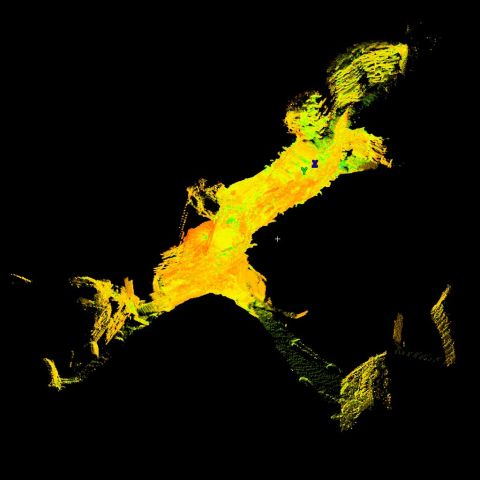
LiDAR Scan of Skara Brae Passageway
|
|
Point cloud model derived from LiDAR survey of the monument.
Skara Brae is an archaeological site with exceptionally well preserved remains that show the stone built furniture and internal structure of ten Neolithic houses and their narrow connecting passageways. Radio Carbon dates show that the village was occupied for around 600 years between 3200 and 2200 BC. There appear to be two main structural phases to the occupation.
Between the later houses at Skara Brae is a network of low winding passages. These made it possible to travel between Houses 1-7 without going outside. The passages are around a meter high and roofed with stone slabs. The main passage has bar-holes in the walls at either end suggesting that it could have been sealed from the inside.There were further bar-holes at the entrances to each of the houses allowing them to be closed and barred with stone slabs.
The monument is now managed by Historic Scotland and is a key element of the Heart of Neolithic Orkney World Heritage Site. The Lidar survey was conducted by Scottish10 and made available by Centre for Digital Documentation and Visualisation (CDDV).
| Metadata | Information |
| Source | Historic Scotland |
| Contacts |
|
| Copyright Credit Line |
|
| Europeana Rights |
|
| Spatial |
|
| Start Date | 3180 BCE |
| End Date | 2500 BCE |
| Period Name | Neolithic |
| Materials | Dry Stone |
| Heritage Asset Type | Settlement |
| Metadata | Information |
| Thumbnail |

|
| Name | Skara Brae Passage Way Scan |
| Description | Leica scan of House 01 Collection of 27 scans, totalling 166 million points. |
| Type | 3D |
| Format | Leica PTX |
| Copyrights |
|
| Link |
|
| Landing Page |
|
| Metadata | Information |
| Name | Terrestrial Laser Scan |
| Actor | CDDV, Group |